
NewsWSVN 7 MiamiSeptember 10, 2026Miami-Dade County
WSVN Reports Weather Conditions, Rain, and Hurricane Season Status Across South Florida
Photo: WSVN 7 Miami
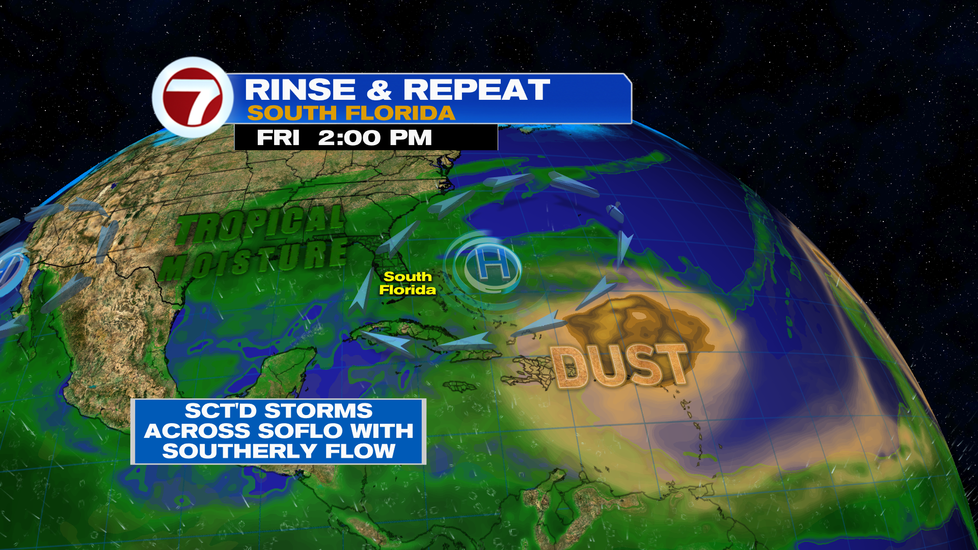
A weather disturbance brought widespread rain and cooler temperatures to South Florida on Thursday, improving drought conditions and reducing extreme heat. Friday brings isolated coastal showers and afternoon storms with high temperatures in the low 90s, while the weekend features continued tropical moisture and storm patterns. Additionally, September 10 marks the typical peak of the Atlantic hurricane season with no current storm activity expected over the next seven days.
Read the full story at WSVN 7 MiamiWhy It Matters
Weather patterns impact regional drought conditions, daily temperatures, and tropical storm monitoring across South Florida.
Key Facts
- A weather disturbance brought widespread rain during midday Thursday, improving drought conditions and dropping temperatures from a high heat index of 103F down to 74F.
- Thursday afternoon weather settles into mostly cloudy skies with lingering light to moderate rain.
- Friday is expected to feature sunshine, isolated coastal showers, afternoon scattered storms, and high temperatures in the low 90s with heat indices in the low to mid 100s.
- Saturday will maintain a similar forecast due to high pressure to the east keeping tropical moisture in place.
- Sunday will feature an onshore flow, bringing more dry time and primarily morning shower and storm activity.
- Next week's pattern includes morning coastal showers, midday scattered metro storms, and afternoon storms mainly to the west.
- September 10 marks the typical peak of the Atlantic hurricane season, but no activity or development is currently expected over the next seven days.
- If no hurricane forms by tomorrow, 2026 will set a new record for the latest first hurricane to form in a season.