
NewsMySuncoast / WWSB (ABC Sarasota)August 14, 2026Sarasota County
Sarasota weather forecast: Drier air to reduce thunderstorm activity through early next week
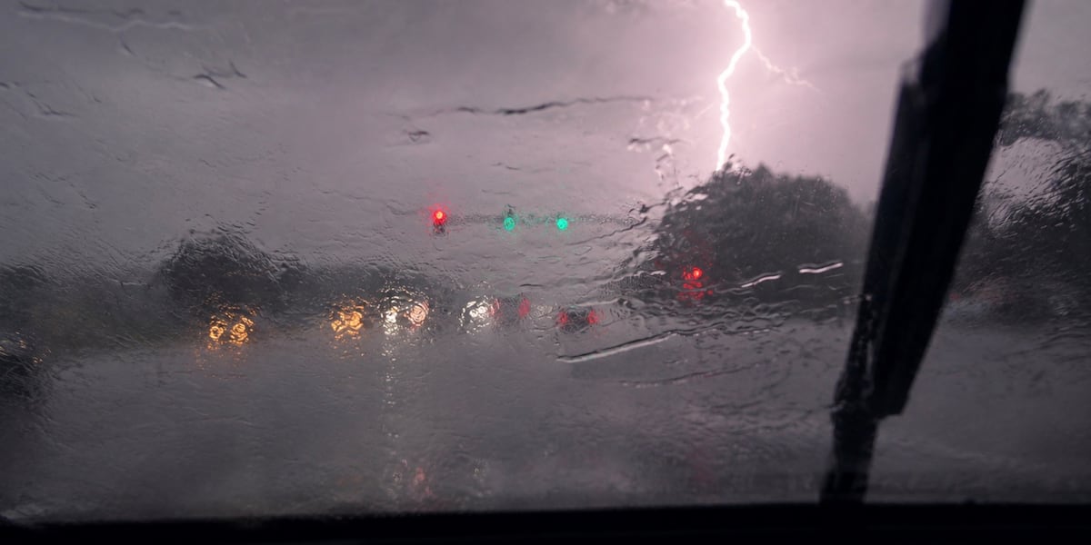
Photo: MySuncoast / WWSB (ABC Sarasota)
A shift in weather patterns will bring drier air to the Suncoast region, resulting in significantly lower thunderstorm chances and high heat indices between 105° and 107° through Monday. While rain chances will be low, temperatures are expected to remain in the mid-90s before a more typical summer storm pattern begins to rebuild by the middle of next week.
Read the full story at MySuncoast / WWSB (ABC Sarasota)Why It Matters
Residents should prepare for extreme heat and humidity with heat indices reaching up to 107° while planning outdoor activities, as the usual daily thunderstorm cooling effect will be absent through the weekend.
Key Facts
- Heat indices are expected to reach between 105° and 107° due to high humidity.
- High temperatures are forecast to reach the mid-90s through the weekend and into Monday.
- Thunderstorm activity will decrease significantly starting Sunday as drier air moves into the region.
- A more typical summer weather pattern with increased rain chances is expected to return by the middle of next week.
- Boating conditions are expected to be favorable through the weekend with seas of 1 foot or less.
- Tropical wave AL92 has a 20% chance of development over the next seven days.
- Tropical wave AL94 has a 30% chance of development in 48 hours and a 50% chance over the next seven days.
- Neither tropical wave currently poses an immediate threat to Florida.