
NewsMySuncoast / WWSB (ABC Sarasota)November 17, 2026Sarasota County
National Weather Service issues Flood and Small Craft Advisories for Sarasota and Manatee counties amid…
Photo: MySuncoast / WWSB (ABC Sarasota)
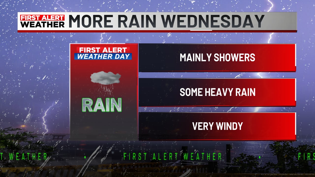
A persistent wet weather pattern brings rounds of rain, localized flooding risks, and hazardous marine conditions to the Suncoast through Friday before drier air arrives this weekend. Wednesday is declared a First Alert Weather Day, with localized flooding possible in low-lying areas following 2 to 3 inches of early afternoon rainfall.
Read the full story at MySuncoast / WWSB (ABC Sarasota)Why It Matters
Residents face potential localized street flooding, hazardous boating conditions with winds up to 35 knots, and disrupted commutes through Friday.
Key Facts
- A Flood Advisory was issued for west central Manatee and northwest Sarasota counties after 2 to 3 inches of rain fell by early afternoon.
- A Small Craft Advisory remains in effect until 7 a.m. Friday for Gulf waters, Tampa Bay, and coastal areas from Englewood to Tarpon Springs.
- Gulf marine conditions feature east winds of 20 to 30 knots with gusts up to 35 knots and seas of 4 to 7 feet.
- Wednesday is designated a First Alert Weather Day with a 40% chance of showers and thunderstorms and highs near 74 degrees.
- Tonight's forecast includes an 80% chance of rain, a low around 66 degrees, and east-northeast winds gusting up to 29 mph, bringing another half to three-quarters of an inch of rain.
- Thursday brings a 40% chance of showers and thunderstorms with highs near 79 degrees and a Marginal Risk of excessive rainfall across interior west Florida.
- Friday features a 30% chance of afternoon showers, highs near 79 degrees, and a shift of excessive rainfall risk to the interior and Nature Coast.
- Drier air is expected to arrive this weekend as winds shift out of the north, leading to scattered showers on Saturday and mostly sunny skies on Sunday with highs near 78 degrees.
Who's Mentioned
locationManatee“County under Flood Advisory”locationTampa Bay“Covered by the Small Craft Advisory”locationNature Coast“Area expecting excessive rainfall risk on Friday”OrganizationWWSB“News station publishing the report”locationSARASOTA“City where WWSB is located and focus of weather reporting”OrganizationNational Weather Service“Issued weather data and advisories”locationSuncoast“Region experiencing the wet weather pattern”locationEnglewood“Southern boundary of coastal waters under advisory”locationTarpon Springs“Northern boundary of coastal waters under advisory”